
Land At Girsonfield, Otterburn, Newcastle upon Tyne, Northumberland, NE19 1NX
£500,000 - UNDER OFFER

Description
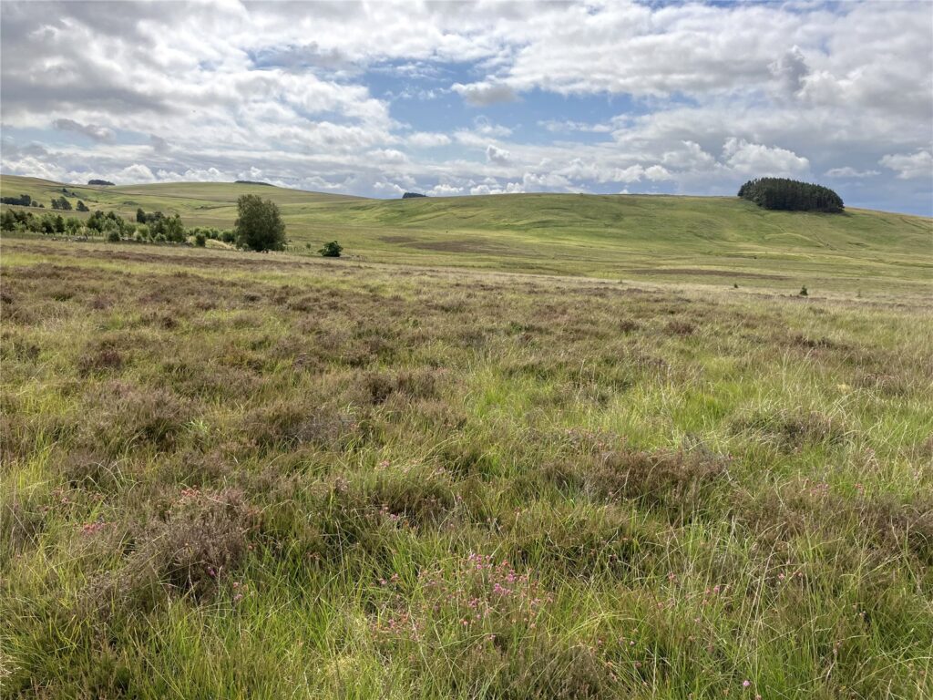
347.69 acres (140.71 hectares) of upland heath and hill ground with excellent access on the boundary of the Northumberland National Park.
Description
INTRODUCTION
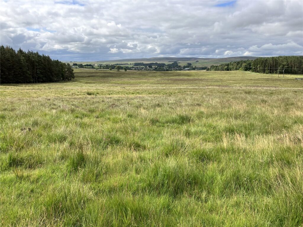
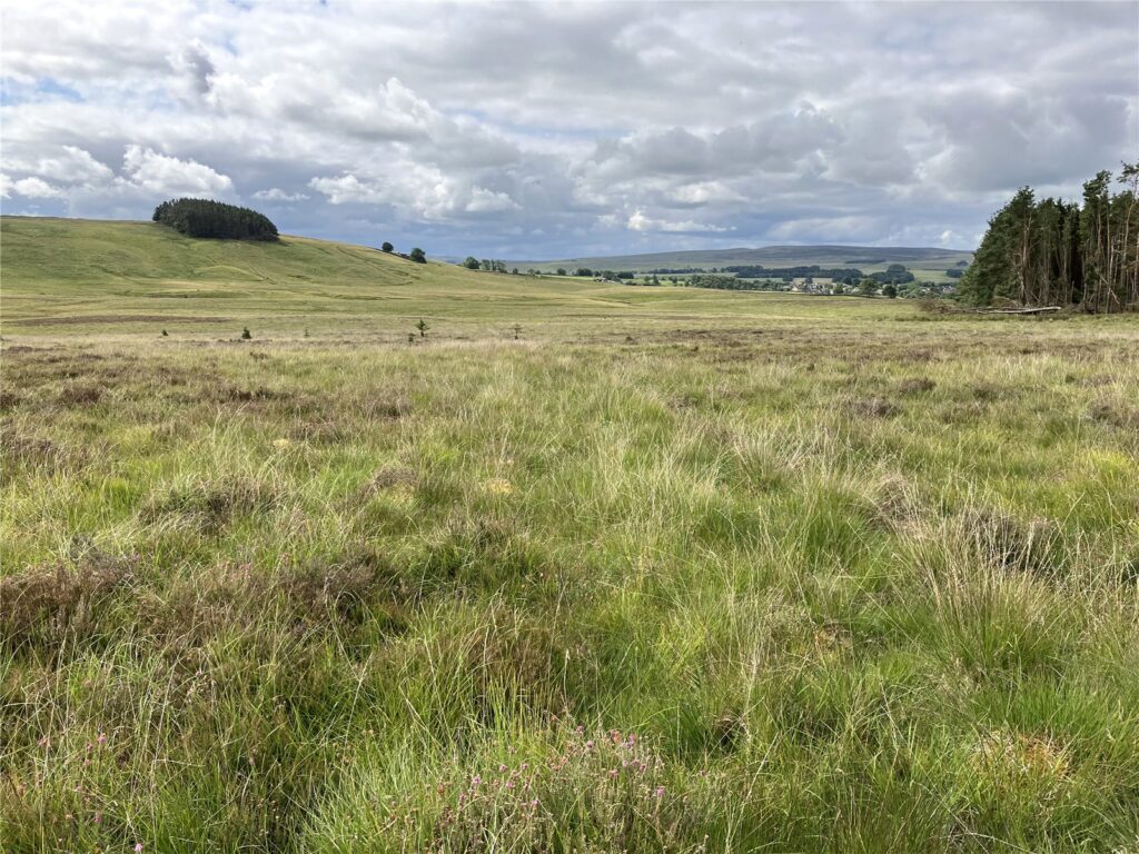
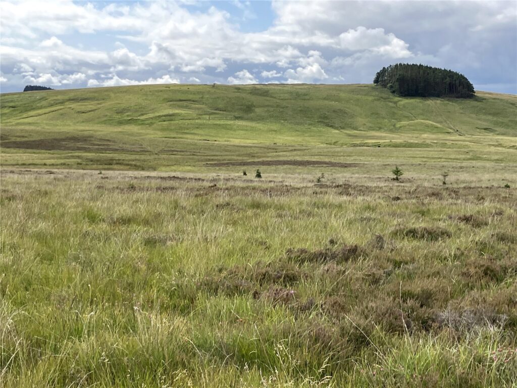
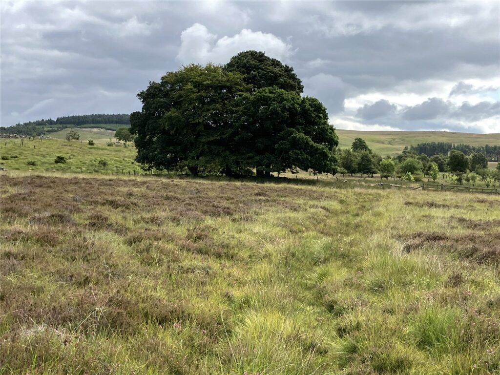
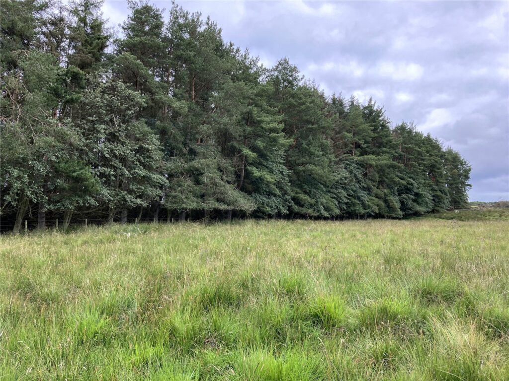
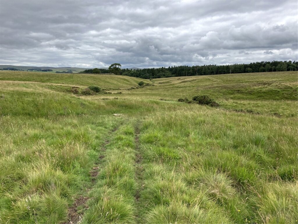
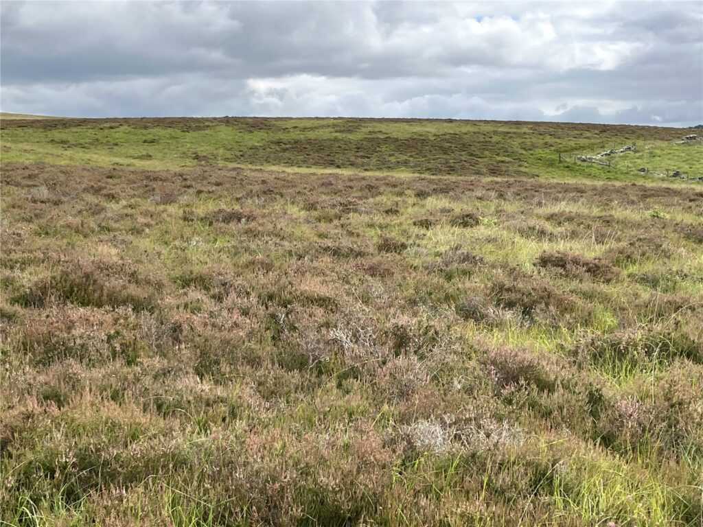
The sale represents a rare opportunity to purchase 347.69 acres (140.71 hectares) of upland heath and moorland lying on the edge of the Northumberland National Park. The land itself lies within a single ring fenced block approximately 1 mile to the north of Otterburn village between the village and Otterburn military camp. There is excellent access from the council highway onto the land which has a long road frontage along part of its western boundary. The land rises from approximately 170 metres above sea level at the south west corner up to 239 metres at Fawdon Hill. The land is bisected by the Girsonfield Burn with the majority of the land lying within a single enclosure extending to 268.5 acres (108.68 hectares) with a further 59.2 acre (23.96 hectare enclosure in the southeast corner). The land which includes upland grasses, heathland and some heather is grazed by cattle and sheep on a short term tenancy.
The land is not currently entered into any Environmental Stewardship Schemes although it has previously and lies in an area identified as an HLS target area as well as being on the priority habitat inventory for upland heath.
The Northumberland National Park authority were commissioned by the owners and Natural England to complete a PA1 Moorland Survey and implementation plan to inform the farms future Countryside Stewardship Agreement and Moorland Management Plan. The main purpose was to survey the grips and gullies and any bare peat to devise a plan to restore these upland habitats. The survey work was carried out in the autumn of 2020 and the results are available on request and are extremely informative for potential purchasers. In summary it was reported that the habitat is more heath/grassland mosaic than blanket bog. 4,824 metres of grips were suitable for re-profiling with a further 2,165 metres of grips suitable for alternative techniques. This report therefore provides a purchaser with valuable information highlighting potential for Carbon Capture and for entering the Land into Environmental Stewardship Schemes.
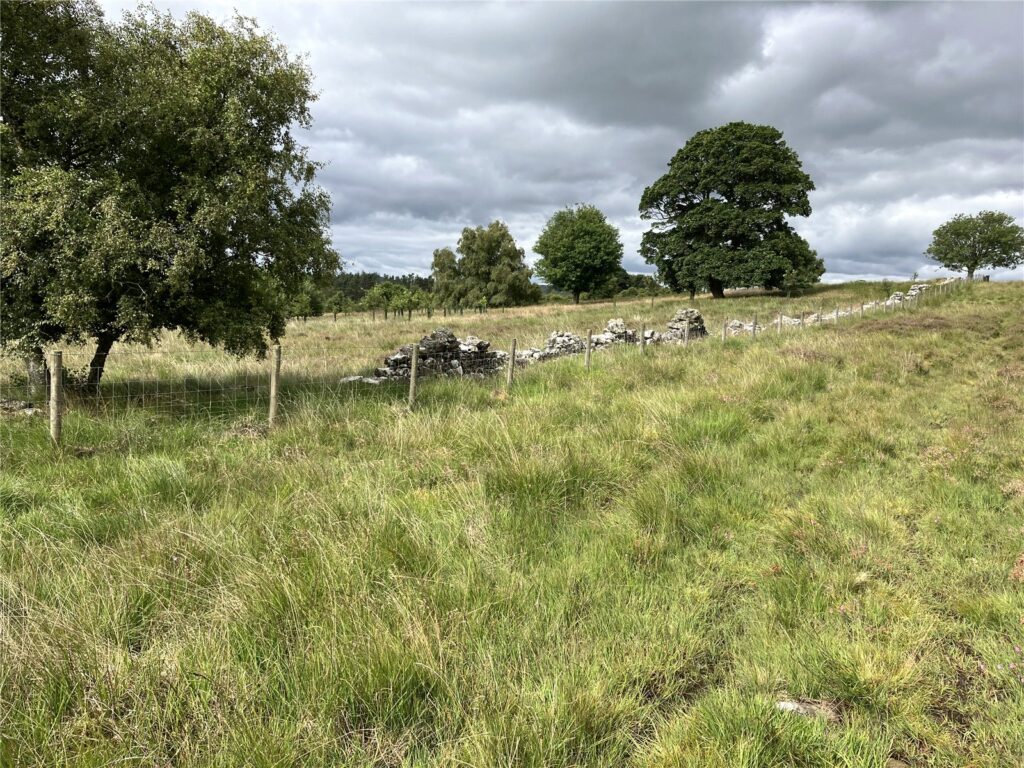
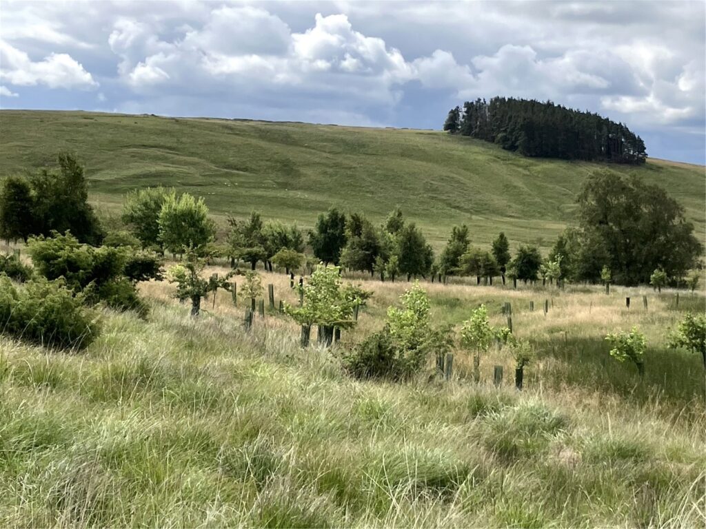
The property also includes two established conifer plantations extending to approximately 3.83 acres (1.55 hectares) which provide shelter. A larger area of 16.1 acres (6.52 hectares) was planted under an EWGS scheme in 2010 and includes mixed native woodland species of Birch, Alder, Willow, Rowan and some Juniper to create habitat suitable for Black Grouse, adding to the amenity wildlife and diversity of the site. Farm Woodland Payments should be received for a further two years. The current annual payment is £391.20.
In summary, the sale offers a rare opportunity for a purchaser with Environmental or Natural Capital interests to acquire a manageable sized property in an accessible location currently unencumbered by any management schemes. Therefore it offers a blank canvas from which to work and has the benefit of the survey work carried out by the National Park.
Acreage: 347.69 Acres