
Pioneering trial assesses drone use in maize agronomy
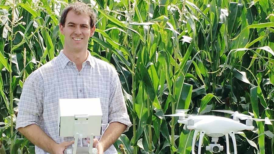
Agronomist Craig Green
Remote maize agronomy and crop analysis via drones could have a useful role in the future, a pioneering on-farm trial has concluded.
Drones were “another tool in the tool box” for farmers, independent agronomist Craig Green of CMG Agronomy told the Maize Growers Conference at Stoneleigh last week (7 February).
However, they had some fundamental shortcomings and were of limited use in weed control and in assessing crop health during the tasselling stage.
Mr Green conducted an on-farm trial in a maize field in north Norfolk last year.
See also: Flying a drone: Everything you need to know about staying legal
Field Facts
- 10ha ex-potato field (lifted October in good conditions)
- At Holkham Farming Co, Wells-next-the-Sea
- South facing
- Long-term arable rotation
- Medium soil with good soil indexes (P=3, K=2)
- Maize variety was ES Cluedo – group 7
- No muck applied, DAP applied at drilling
- Min-till system, precision drilled
- 40kg N on seedbed
Shortcomings and benefits
During trials the drone could not be used for a month (at the tasselling stage) because it works by assessing plant health through analysing shades of green leaf area, which became temporarily hindered when tassles covered the canopy in beige and yellow.
Mr Green said drones were “reactive” to situations already happening, rather than “proactive” like an agronomist, but they could help growers make more informed decisions about crop management.
He said the drone’s speed and height meant all parts of the field could be assessed quickly and more observations could be made when the plant was in its taller stages.
Drones were ideal for mature maize at two metres tall, “as there are some things like assessing canopies that a human eye can’t see”, Mr Green explained.
“However, I wouldn’t recommend drones for weed control. By the time the drone can see weeds at 80m they need to be as big as a 50 pence piece, by which point it’s often getting too late.”
“I will carry on using the drone in maize fields,” he said. “It will never replace walking the field but we can use it to pick up differences that the human eye cannot see and its a good checking tool.”
He said the drone he used could be picked up second-hand for about £400, with new versions costing around £1,000.
How the drone was used |
|
|
Plant stage |
Benefit |
|
First flight: Bare soil |
Saw different soil types in field and predicted growth rates. |
|
Second flight: First true leaf emergence |
Saw delayed emergence on half the field and poor plant growth in one area. Was this soil temperature or lack of moisture? |
|
Third flight: Second true leaf |
Picked up delayed emergence of plant due to a cap being created in the soil. Drill had smeared moist soil which had then baked the following day in 26C heat. |
|
Fourth flight: Leaf four |
Assessed how successful weed control had been. Helped inform variable-rate nitrogen plans and trace element requirements. Identified rabbit damage and spotted smaller plants in middle and north of the field. |
|
Fifth flight: At canopy closure, just before tasselling |
Assess how well the maize plant had covered the soil. Assessed poor rooting and lodging. Saw smaller/thinner plants and middle and north of field that did not catch up after slow emergence. Assessed biomas yield. |
Drones: Pros and cons |
|
|
Positives |
Negatives |
|
|
Drone operating rules
- Must weigh less than 20kg
- Maximum hight 120m (400ft) – agronomy range is more like 80m
- Do not fly within 50m of a person not under the operator’s control
- Do not fly within 150m of a built-up area
- Civil Aviation Authority commercial licence is needed to use data commercially.