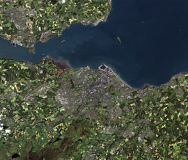
Satellite project to cut census burden for farmers?

A project which will use satellites to identify crops in farmers’ fields could reduce the amount of information producers need to provide in the June census and help officials dealing with plant disease outbreaks.
Government agency FERA is leading a two-year project which will use remote sensing to create an annual crop inventory of England’s fields, which will be joined up with existing data for Wales and Scotland.
FERA is working with both the UK Space Agency and the Environment Agency to assess how this might work.
Crop information is currently collected annually from farmers via the June census and Single Payment Scheme application form.
However, crops are only recorded under a very limited number of general “crop” types.
The aim is to develop a system which can map crops in fine detail, distinguishing between different crop types.
Andrew Crowe, senior land use scientists at FERA, said the project had started in January and currently involved looking at old satellite images and then seeing how they matched up with information provided on historic IACS forms.
The next stage would be to look at data for 2013 to try and develop classification rules for more crop types.
Asked if the work could eventiually lead to a reduction in the amount of information farmers might need to provide in the June census, he said: “This is something that could come out of it.”

