Opinion: My love of maps may about to be tested

I have a condition I refer to as “cartographilia” and I suspect I’m not alone in farming circles.
It’s all about maps. From small-scale field maps to world atlases, I’m drawn to them all like a fly to fly-paper. Yield maps, soil maps, nautical maps, maps that show the areas of best fracking potential in the UK – there are few maps that aren’t worth a good study.
Give me a classic map, such as one from the OS landranger 1:50,000 series, and I can pore over it, extracting more entertainment than I could get from a night at the Folies Bergère. Show me a map of my village in Victorian times and I’m transported back to a previous age. For those of us prone to flowery phrases, it is what’s known as an “immersive experience”.
It may be my obsession has a dark side. Hitler loved maps. It was thought to be connected with his megalomania. His bunkers had dedicated map rooms where he would satiate his poisonous desires by salivating over maps of Europe in the same way hungry lions observe fat, young wildebeests. Have you ever done that thing when you draw in a couple of your neighbours fields on to your own farm map just to see what it would look like? No? Just me then.
But in the main, I’m firmly of the view that maps have a civilising impact on the human condition to the point where we should now be worried about the blinkering effect satnav is having on our youth. I have a son who, when setting out for distant parts, just types in the postcode of where he wants to drive to and, without so much as a glance at a map, duly sets off like a voice-activated automaton in a tunnel. On arrival at his postcoded destination, he has little idea where he is geographically, how he got there or what territory he has travelled through. He would make the world’s least curious explorer. If he had travelled with Marco Polo through China, his diary would have read something along the lines of: 14/05/1265, left Venice with Uncle Marco navigating; 23/09/1292, returned via Xanadu.
So what causes me to raise one of my favourite passions at this moment in time? Put it this way, mention the word “map” to a farmer and on its own the word might incite pleasant thoughts, but add the acronym “RPA” and watch his face blanch in terror.
But give it its due, the RPA is a much-improved organisation and the mapping farces that have plagued many of our houses are largely a thing of the past. But the worry is there are new challenges on the horizon. The CAP regime coming into place in 2015 will require new mapping requirements. For starters, we will need to map our eco focus areas to prove they are a certain size, including mapped linear features that will score certain points when multiplied by different coefficients. After several years of our SPS applications becoming more straightforward, we now need to brace ourselves for extra complication.
Given things don’t kick in until 2015, we don’t need to worry about submitting these new, more complicated forms for more than a year. But for someone like me who remembers only too well the minor panics that broke out in the past as I scrabbled to get my new maps together in an attempt to get my application done in time, a salutary lesson has been learned. I’ll be doing my map work as soon as possible, starting to sketch out what’s needed well before the end of this year. So it’s back to my map room. Obergruppenführer, hand me my best crayons. I have new features to chart and boundaries to draw.
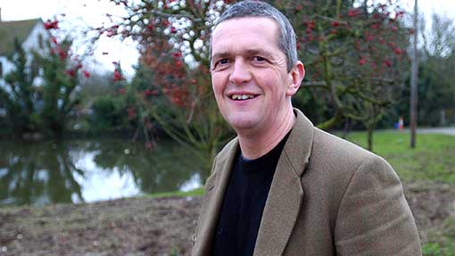
Guy Smith comes from a mixed family farm on the north-east Essex coast. The farm is officially recognised as the driest spot in the British Isles. Situated on the coast close to Clacton-on-sea, the business is well diversified with a golf course, shop, fishing lakes and airstrip.
