
Many farmers unaware of claims on ‘lost’ footpaths
 © Tim Scrivener
 Farmers and landowners are being advised to check for claims of historic public footpaths running across their land to avoid any unwelcome surprises.
Walking charity The Ramblers says it has found more than 49,000 miles of rights of way missing from the definitive map in England and Wales.
It has created an online tool to map potential lost footpaths. Anyone can sign up for free and run a postcode search to check for historic footpaths.
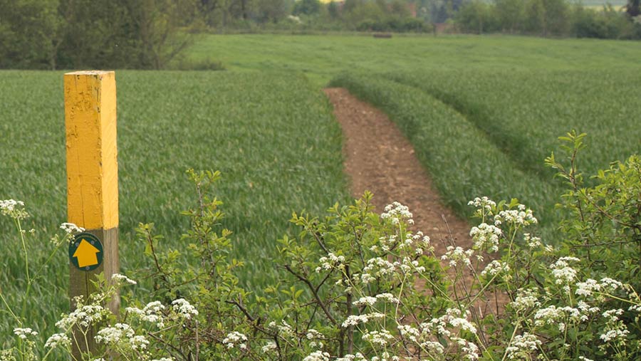
See also: How to protect farmland against new public rights of way
On 1 January 2026, the government intends to close the definitive maps for claims of historic paths which existed before 1949, to provide certainty for private landowners about public rights of way running across their land.
The Ramblers is lobbying for this cut-off date to be extended.
But the Country Land and Business Association (CLA) believes the cut-off date should be maintained to “strike a balance between the needs of nature and public”.
Balancing act
CLA president Mark Bridgeman said: “We need to think about the impact of having more public rights of way on the very wildlife ramblers want to protect and enjoy. For example, ground-nesting birds need to be protected from walkers and dogs.
“It is over 75 years since the definitive map came into being and there will have been 25 years to prepare for the cut-off.
“In our view, the focus should be on the real issue in the access debate: ensuring scarce public resources are spent on properly maintaining and looking after the 140,000 miles of public rights of way which are being used in England and Wales so that the public can continue to enjoy them.”
The CLA said it was dealing with many enquiries from landowners – both big and small – about claims being made against their land. Some have been subjected to multiple claims, and fighting the claims can be “prohibitive”.
It emphasised that even if a landowner found a historic footpath highlighted on their land, it did not mean they would be subject to a claim.
Check insurance
It urged landowners to check their insurance policy to see if they are covered for any claims of historic footpaths made against them.
Searches carried out by Farmers Weekly suggest that many farmers have historic footpaths bisecting their land which they may not be aware of.
One farmer has told of finding a new “lost” path coming directly up the driveway, through the farm gates, past both front doors and through the cattle shed.
The Ramblers says more than a fifth of the lost paths found (more than 9,000 miles) are in south-west England, with Devon topping the list of counties with the most missing rights of way.
The West Midlands has the highest density of lost paths to potentially be added to the map.
CLA advice to landowners on steps to take to check potential routes
The Ramblers’ campaign, Don’t Lose Your Way, is nothing new but is the latest push by the charity to protect and expand public access to the countryside, writes Sophie Dwerryhouse, CLA national access adviser.
It aims to discover “lost” public footpaths and apply to have them added to the definitive map before the January 2026 cut-off date.
The campaign involved volunteers researching potential routes in England and Wales using a mapping tool based on historic Ordnance Survey (OS) maps.
The OS maps are a relatively light form of evidence. While they do set out what is on the ground, they do not provide reliable evidence of whether a route is private or a public highway.
For more information on the evidential weight of documentary evidence for historic claims, landowners could look at Definitive map orders: consistency guidelines on the gov.uk website.
Once volunteers for The Ramblers have completed the task of finding suspected routes on the mapping tool, their next step would be to prioritise routes of most benefit to the public.
This means landowners may notice additional interest in the areas ramblers have marked. But just because a route is marked that doesn’t mean it is certain to be claimed, or, if it is, that there will be sufficient evidence to justify its addition to the definitive map.
However, it could mean that an application is made in due course which the landowner may wish to defend.