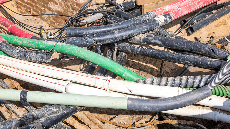
Digital map of underground cables to reduce accidents
 © Rex Features
 Work is underway to create a comprehensive digital map of all underground pipes and cables, to reduce the risk of them being struck by mistake during construction work and farming operations.
The government’s Geospatial Commission says the Underground Assets Register will show where all electricity and phone cables, and gas and water pipes are buried.
Although different organisations have their own maps, there is no single source of utility pipes which creates an increased risk of potentially lethal accidents and can slow development projects.
See also: Farm fined £22,000 after worker ruptures gas pipe
It is estimated that accidental strikes of underground pipes cost the economy £1.2bn/yr, with tens of thousands of incidents happening each year.
Mapping work to test the feasibility of the project will start with two pilots – one in London and one in north east England.
If the pilots are successful, the idea is to create a UK-wide map that workers will be able to check on a mobile phone or laptop before they start work.
A government spokesperson said the map would not be publicly available for national security reasons.
However, the people behind the map would be working closely with the farming community in the development of the programme, as they were aware than landowners were key stakeholders.
