
Advertiser content
How does your land lie? Muller explains planning ‘zoning’
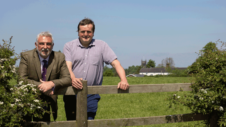
Colin Muller is the CEO of Muller Property
Where your land is located makes a big difference when it comes to assessing the prospects of whether there is any possibility of development.
It’s not that cut and dried either: there’s a whole load of ifs, buts and maybes.
Council Local Plan
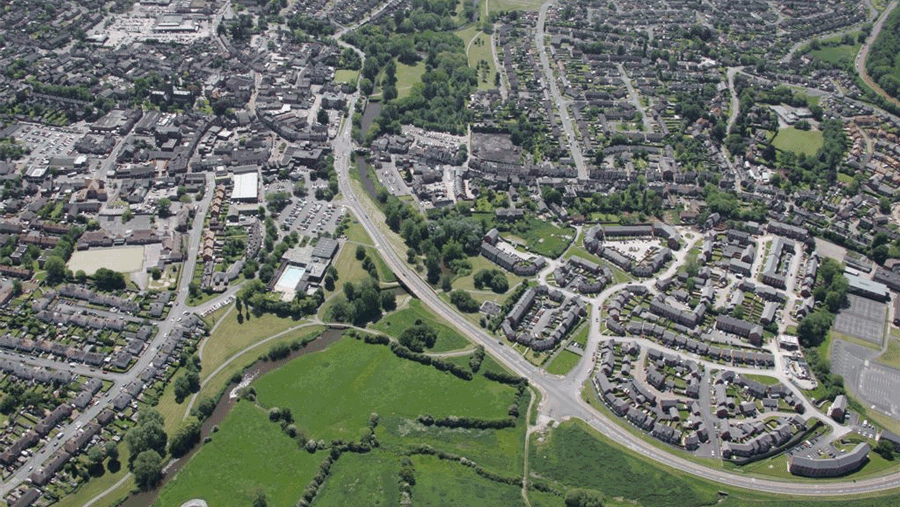
The starting point is the Council’s Local Plan – which sets out the broad policy applied to land in and around towns and villages.
- Farms by nature are located outside of settlements which is the starting point for assessing where your land lies.
- As you would expect with planning and Councils there’s a shed load of policy restrictions on what can and can’t be done on land.
- In fact, most of local policy is about what type of development will be resisted by the Council as opposed to encouraging new development in a positive way.
- There are a wide range of policy zonings in the Local Plan which apply to land outside of settlements for the part of the country you live in.
These include Areas of Outstanding Natural Beauty (AONB), Green Belt, Special Landscape Area, Green Wedge, Green Gap, Green Barrier, Strategic Gap, Green Corridor, Meaningful Green Space, or just plain Open Countryside.
Either way, all are aimed at restrictions of development; some are more stringent than others.
Councils are not in the habit of doing too much detailed assessment when it comes to review of the Local Plan so it’s a broad brush approach when it comes down to applying their zoning of land.
Until the housing crisis finally hit home and the Government forced Councils to make bigger and better provision for housing and employment land the boundaries of towns and villages remained relatively unchanged – maybe a nibble here or there, at reviews of the local plan over the last 30 years to allow new housing, but nothing too major.
How your land lies is crucial to its future for gaining planning permission for development.
The Council seek to lock down the majority of land in their Local Plans through policy zoning that prevents development.
So, pretty much the only chance to influence the policy that affects your land is at Local Plan review time and it’s crucial that representations are made to get your land promoted in the right way to seek the most advantageous policy zoning or more importantly dispel that “kiss of death” zoning that places a ‘no go’ for any type of development.
Councils treat policy zoning over land rather like layers of insulation, the better the strength and the more layers there are, the better the chance of resisting penetration.
Thus, it’s critical at local plan review time to mount a full on challenge to those policies affecting your land.
You only get one chance every 15 to 20 years to change what’s been carried forward from an old plan or tackle the Council over their intentions to re-zone and bring in new anti-development policy over your land.
In recent times Councils have developed a nasty habit of coming up with that extra layer of policy to ‘protect’ land outside settlements that would normally just fall under regular ‘open countryside’ policies where housing and employment development is prevented.
Zoning like ‘green barrier, green wedge, green gap’ are precisely that ‘extra layer’ where Councils are strengthening their grip.
Mostly, there is no justification for those designations on land, it’s simply a belt and braces approach.
Once such a local policy is in place, like Green Belt which has been around since 1955, and is ingrained in everybody’s mind, it’s very difficult to get rid of it.
If your land is in an edge of settlement location it will be controlled by one or more of the policies I’ve described above.
- The prospects for development largely depend on which level of restraint the Council have imposed.
- Tackling its planning zoning, and making significant inroads into how your land lies in the Local Plan is just as important as farming the land.
- In all reality the complexity and depth of specialist involvement and cost mean it’s not a job for your local land agent.
So contact Muller Property Group on 0800 788 0900.
Muller offers a no-cost assessment of your land in 24 hours.
Provided by
Helping farmers and landowners to gain maximum value from their land
Muller Property specialises in working with farmers and landowners to help them promote their land in order to secure planning permission for housing development or employment.
Our team is highly experienced and under the leadership of Colin Muller, offers a highly personalised service which delivers results for the landowners with whom we work.
To speak to one of the team, Call 0800 788 0900
Muller offers a no-cost assessment of your land in 24 hours.
For more information visit our website Muller Property.