
Opinion: Farm maps show how much and how little has changed
 © National Library of Wales
 There are certain things that happen as you become a middle-aged man.
Those injuries that you once laughed off start to ache constantly, you consider 11pm to be an extremely late night, and your eyebrows, without any warning, suddenly start to get wildly out of control.
You also develop a range of interests that a few years previously would have been inconceivable to you, namely real ale, barbecues, the Second World War and, more than any other, maps.
See also: Maps showing hidden farm hazards can help save lives
About the author

Whether it be the Ordnance Survey variety, road atlases (ask your parents, kids), or even one of those cartoon types that you get at the entrance to theme parks – where I’ll be seen striding ahead and leading my family like a latter-day Captain Cook – give me a map of any kind and I’ll be in my joyful element.
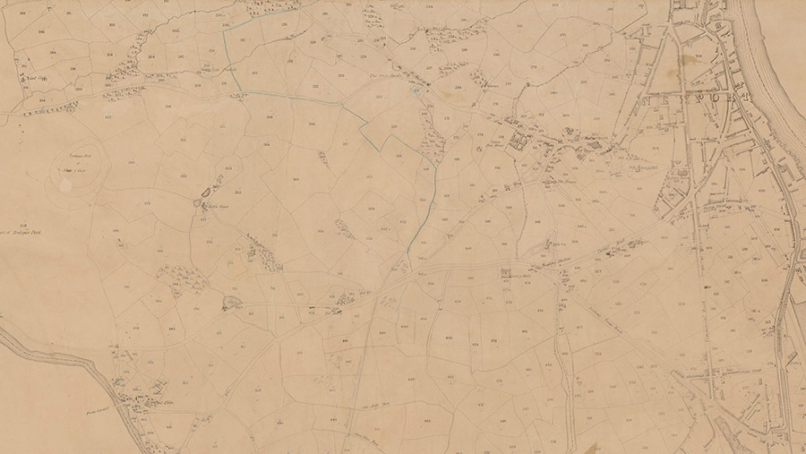
But the ones that I love above all, where I can lose hours poring over every detail, blissfully unaware of anything that’s happening around me, are historic farm maps. Imagine my unfettered delight then, when I discovered the 1836 tithe maps for Wales online.
Under the tithe system, all owners and occupiers of land were required to give one-tenth, or a “tithe”, of their produce to the Church.
In 1836 the Tithe Commutation Act was passed by the Whig government to reform it, bringing in an annual monetary payment based solely on land value.
But first, everything had to be assessed so that these payments could be accurate, so the tithe commissioners put into operation a massive surveying, valuing and recording programme throughout England and Wales.
The remarkable maps they produced cross-referenced with tithe apportionments, on which were listed, for every parcel of land, the name of the owner, the name of the tenant, the name of each field, it’s crop and acreage, and details of the valuation and payable charges.
Fast-forward to the present, and you can now click between 1836 and the latest satellite imagery, and instantly see both the similarities and differences in the landscape, giving incredible insight into the past.
And, despite the narrative pedalled by some of the more vocal critics of farming that our modern countryside has been drastically altered, the evidence suggests something more nuanced.
The biggest change in this area, and it’s no surprise, is the amount of meadowland that has gone.
But other than that, cropping was, as now, predominantly pasture and cereal crops, the area of woodland was similar, field boundaries are mostly the same, and many of the families farming here then are still around nearly two centuries later.
But the thing that’s brought me the most joy, is discovering the old field names.
The majority are Welsh, which in this now predominantly English-speaking area of Wales, have been lost for generations.
How I wish I could tell my grandparents, who came here in the early 1950s and never knew the previous history of the farm, that I’m bringing the names such as Maes y Pentre, Cae Coch, and Wern Issa back from the dead and putting them to daily use.
They’d have been thrilled.
If you too want to lose yourself for a few hours, you can do so at https://places.library.wales X marks the spot!