Earthquake technology helps farmers map soil compaction
 © Seeded Marketing
A 3D soil-mapping technology, traditionally used to study earthquakes, could help farmers track soil compaction and enhance crop performance.
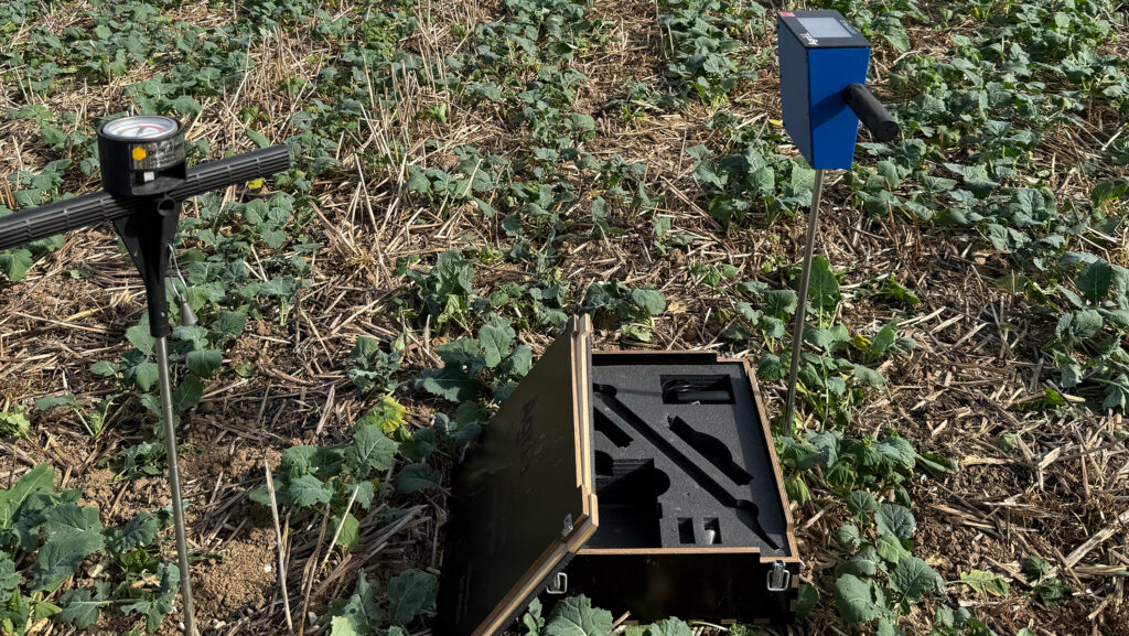
The Earth Rover Program uses seismology, sensors and tiny vibrations to image soil structure and measure bulk density.
Soil compaction costs money and is often a hidden cost on farm. It varies considerably according to soil type, management and weather conditions.
There seems to be a distinct knowledge gap when it comes to physical soil management, highlights Dr Joe Collins, agricultural researcher at Harper Adams University and senior research associate for the Earth Rover Program.
“The agricultural industry has long focused on soil chemical properties such as nutrient levels and pH, with a growing knowledge of soil biology, but what about physical soil properties? Typically, soils are physically managed through standard farming practices like cultivation and rotation, but can we do more?,” he asked.
See also: Spray or stay in SFI? Aphids force tough choice
What is seismology?
This is where seismology comes in. The Earth Rover research is investigating whether existing seismology technology can be adapted to an agricultural context to map soils.
The concept non-invasively uses sensors and a seismic source – such as the stamp of a foot or the hit of a hammer – to image underground soil structures and create a 3D soil map.
The speed at which the sound travels from one sensor to another is calculated, which is used to infer a variety of physical properties such as soil horizon depth and bulk density.
“Instead of just a point measurement, we can map entire fields, giving farmers the confidence to skip unnecessary cultivations and target specific areas, leading to economic savings,” says Joe.
Additionally, significant funding is likely to be tied to carbon storage in the future. This technology can offer an accurate way of measuring topsoil depth and mapping carbon stocks.
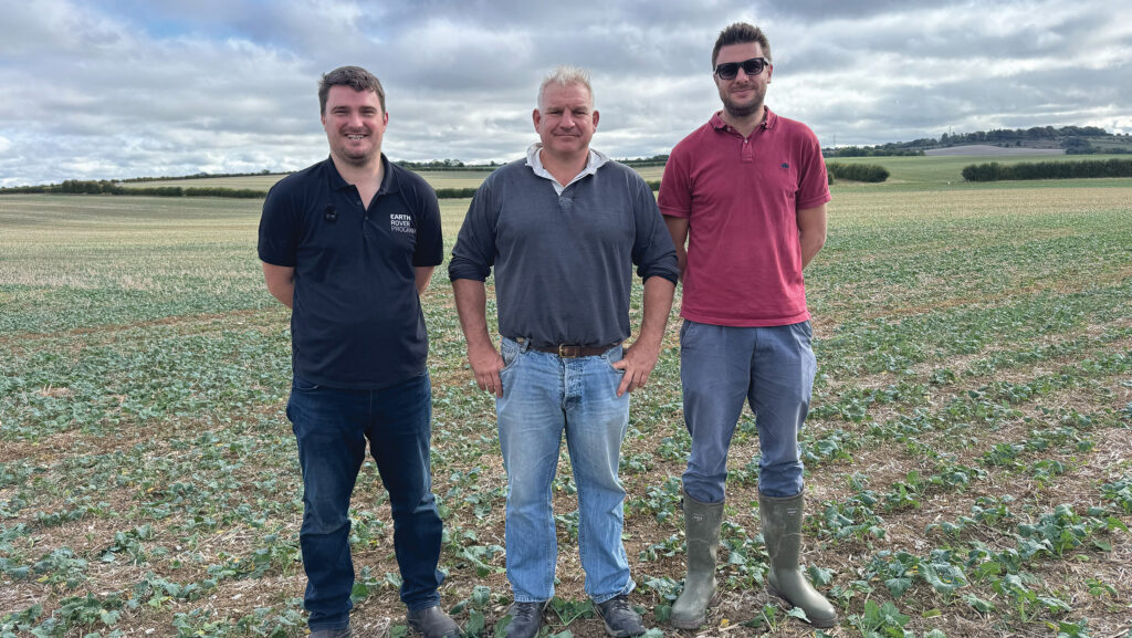
Joe Collins, David Lemon and Todd Jex © Seeded Marketing
How does the kit work in practice?
The technology creates a comprehensive map of the field using small-scale sensors placed in specific locations. Alternatively, users use a smartphone app currently under development.
Another setup in development involves a tractor-mounted passive system where sensors are allocated along tramlines. The tractor provides the exact placement source and distance relative to the receiver.
“The ultimate goal is to offer data storage integrated into a farm management system to record, track and account for different soil parameters over time,” says Joe.
© Seeded Marketing
Thoughts from the industry
Todd Jex, agronomist and Agri-techE Ambassador, notes that existing methods of measuring bulk density struggle to accurately estimate these metrics, whereas a seismic method is perfectly positioned to deliver accurate outcomes.
“Having relevant information is vital to steering management decisions. The mapping data could assist decision-making around compaction in the autumn when the ground is too dry for more rudimentary testing methods.
“Knowing if compaction is present and at what depth would be of huge value to growers and agronomists. Removing compaction is time-consuming and expensive, in terms of diesel and wearing metal, but ignoring it can have dire financial consequences. In legumes, it can cause yield losses of up to 40%,” says Todd.
What’s more, because bulk density can be affected by soil organic matter levels, these maps can highlight exactly where manure or sludge could be most valuably spread, he says.
Wiltshire farmer David Lemon has trialled the technology on his farm and was intrigued with the seismology concept.
“I like the idea of something permanent in the field mapping compaction. The information can then be sent to the farm office and the tractor drivers in the field to target soil cultivations. It’s great to have this fantastic research, but it has to be practical at the farm level,” he says.
Joe adds: “Although the research is in its early stages, there is immense scope for growth. Using different variations of this technology offers massive potential, including assessing soil texture.”
See the tech on display at this year’s REAP Conference
The Earth Rover equipment will be on display at the REAP Conference on 4 November in Peterborough. The conference aims to bring new technology to the forefront of agriculture and connect farmers with innovators.
“Through the Agri-TechE ambassador programme, it’s fantastic to see this kind of collaboration happening,” says Dr Belinda Clarke, director of Agri-TechE.
“If people want to find out more, see technology in action or speak with researchers and farmers, we welcome them to join us for this year’s conference. Farmers are eligible for a discounted ticket through the REAP bursary. They are also able to attend the REAP farmer breakfast, with exclusive access to the day’s keynote speakers,” she says.