
Flawed peat map risks land use and funding mistakes
 A peat bog on Dartmoor © Moorefam/iStockphoto
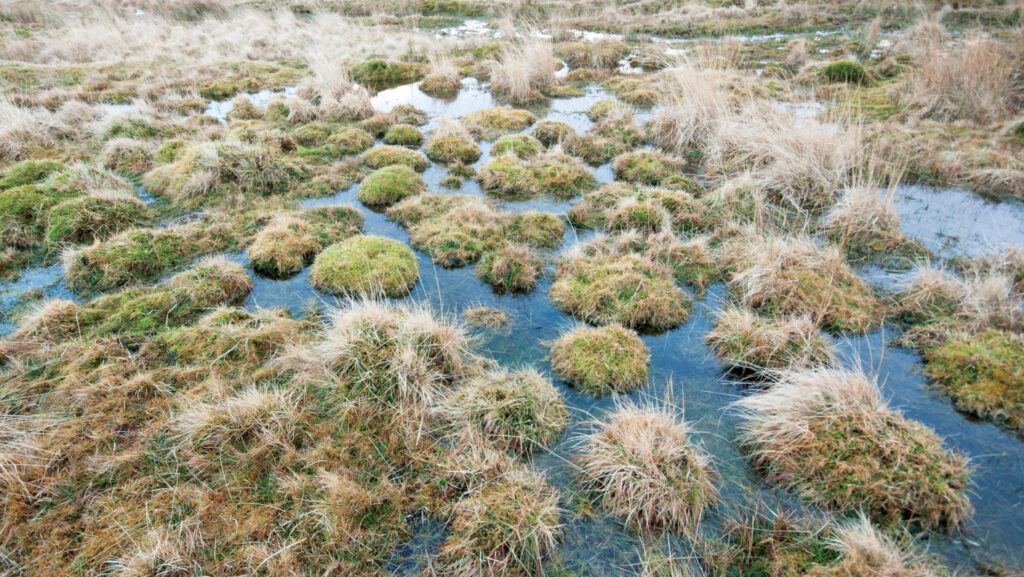
 Concerns are mounting after farmers highlighted significant inaccuracies in a national peat map produced by Natural England, with potential implications for land use, environmental policy and farm incomes.
The map, designed to provide a detailed national overview of England’s peat soils, has been promoted as a tool to guide restoration efforts and inform policy decisions. However, critics warn the modelling behind it is deeply flawed.
Dartmoor farmer Cat Frampton described checking her own land on the map, only to find areas wrongly classified as peat.
See also: 10 things farmers need to know about Defra’s land use plan
“You expect small errors, but this was completely off. Rock, water and even shadows were being labelled as peat,” she said.
The issue appears to stem from how the model was trained. While large amounts of existing peat data were used, Ms Frampton, who has had discussions with the scientists involved in the map’s development, said there was insufficient testing in non-peat areas.
As a result, the system has defaulted to identifying peat across a wide range of landscapes, including limestone and archaeological features.
Particularly striking examples have been noted in upland areas, where evening shadows have been misinterpreted as bare peat.
The errors have the potential to mislead investors, conservation groups and policymakers seeking to fund peatland restoration.
The map is already being used in wider systems, including forestry tools and even the national Land Use Framework.
“It’s embedding bad data, and it gets harder and harder to fight that it’s not right each time it gets put somewhere else,” said Ms Frampton.
“If you’re using bad data, you’re going to make bad decisions.”
There are also financial implications. Farmers and landowners exploring environmental schemes or natural capital payments for peat restoration may waste time, or face penalties, if land is wrongly classified.
While Natural England has included technical disclaimers advising against site-specific use, the data has been integrated by the Forestry Commission and referenced in the Land Use Framework without clear alerts.
Natural England chairman Tony Juniper said: “The benefits of healthy peatlands are well documented – they are our biggest natural carbon stores, essential to the water cycle, and refuge to some of our rarest plants and wildlife, such as the carnivorous sundew plant, marsh violet, and charismatic birds like golden plover and curlew.
“The England Peat Map will allow us to make far better and more informed decisions when it comes to managing peatlands – targeting restoration efforts to the most degraded peat and identifying the best opportunities for nature recovery.”
Explore more / Transition
During the series we follow our group of 16 Transition Farmers through the challenges and opportunities as they seek to improve their farm businesses.
Transition is an independent editorial initiative supported by our UK-wide network of partners, who have made it possible to bring you this series.
Visit the Transition content hub to find out more.