

How mapping software could simplify and speed up SFI applications
 © GNP
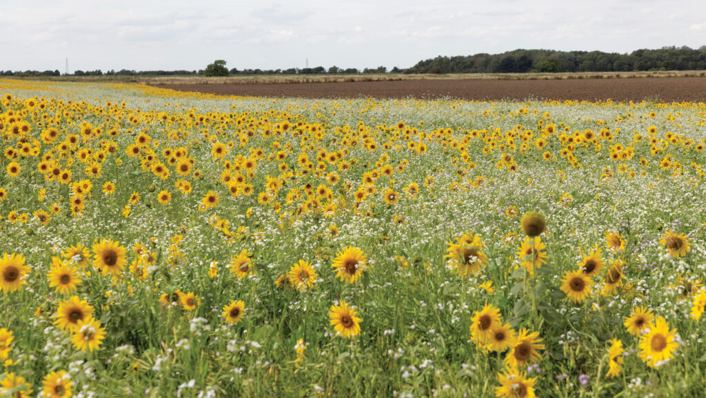
© GNP With half of the Sustainable Farming Incentive 2026’s Window 1 funding being allocated in just four days, it will likely pay to be ready to apply on or as soon as possible when applications open for Window 2, when a much larger cohort of farms will be eligible.
Most industry experts are expecting a similar initial application rush, with uncertainty surrounding how long the funding will last due to a much larger number of businesses being able to apply.
Creating a Sustainable Farming Incentive 2026 (SFI26) application on your own is not for the faint-hearted.
While technically feasible, it requires patience and a head for reading through and interpreting pages of policy, while understanding whether an option is compatible with any existing schemes on the farm.
See also: Advice on preparing for September’s SFI26 application window
That’s why many farmers will turn to an adviser to help.
There are good reasons why discussing your circumstances with a trusted adviser will be a good, if not the best, option, not least their experience of putting together such schemes and an innate understanding of what will work on your farm and, just as important, maybe what won’t.
But there is a middle ground; one that could allow a farmer to go it alone with a degree of confidence or at least do some of the legwork allowing the cost of employing an adviser to be reduced.
And that’s using one of the growing number of software tools that can help plan applications, including in some cases, doing verification of whether a scheme is compatible with existing schemes.
Land App
The most established option comes from Land App.
Established 10 years ago by Surrey-based farmer Tim Hopkin, the platform is a general-purpose mapping tool that helps with anything from habitat baselining for biodiversity net gain requirements.
It combines multiple map layers for landscape recovery and natural capital projects, to agri-environment scheme planning.
The workflow for developing a SFI26 plan is straightforward.
Users begin by importing field boundary, parcel IDs and land cover data directly from the Rural Payments Agency (RPA) using an SBI number, explains Land App’s director of growth, Dan Geerah.
Check your data is up to date before September, he warns. If the RPA’s rural land register incorrectly identifies a field’s use, it can block specific SFI options and needs correcting using an RLE1 form, which can take a week to 10 days to be processed.
After selecting Land App’s pre-built SFI26 template, which uses the latest policy information, users can assign use to field parcels by selecting SFI actions from the menu.
“Land App will then tell you how much you will be paid per year for that option,” Dan says.
“That payment is dynamic, so if you shrink the field, the payment reduces.”
For each option there is a hyperlink to SFI26 guidance, giving a shortcut to the information required for eligibility, how it’s managed etc, he adds.
Specialised tools allow users to easily split fields – for example, for putting actions into an irregular shaped corner – or accurately measure areas for buffer zones.
Other map layers can be added, such as flood risk maps, Cranfield University soil maps or priority habitat inventories to give more context for decision-making, while collaboration tools make it easy for multiple users to work on and edit the map in real-time together.
A SFI validator tool performs a number of checks, including land use eligibility, overlaps, eligibility on sites of special scientific interest and historical features, and limited area validation, to check whether the plan will pass RPA checks, with any issues highlighted on an “issues” map.
However, the validator does not check for eligibility against existing live prior agreements.
“Obviously we can’t take liability for it missing anything, but it will flag any obvious errors,” Dan says.
Once complete, the software generates tabular views of the plan and high-resolution PDF maps that can be exported to an adviser, or vice-versa, or to assist with manual entry of the data into the RPA portal.
Much of the core functionality is free to farmers, including creating up to four maps, importing RPA data and designing SFI plans.
Users can also upload photos for compliance checks from a desktop, but the SFI validator tool, mobile picture uploads and use of Land App Mobile, and detailed report generation cost £16/month.
“That’s a rolling contract, so you can just do the plan and validation, and then opt out,” Dan notes.
JustFarm
The new kid on the block is JustFarm, which has been developed as a much more specific tool for designing and managing SFI and Countryside Stewardship schemes.
Launched last September, the platform is designed to both manage compliance on existing schemes, as well as plan new schemes, explains founder and chief executive James Stretton.
“Both of those aims need an understanding of what is existing on the farm and what restrictions that might make in terms of stacking actions and compatibility.”
To do that, JustFarm ingests PDFs of existing agreements line-by-line to extract what actions are already on specific fields and layer them on top of the land data pulled from RPA using a holding’s SBI number, he says.
“From a compliance perspective, rather than farmers needing to remember what the agreement document said and cross-reference the agreement action codes with the policy document to understand what they have to do, we put it on the map for each field.
“Farmers then click to understand what and when you need to do something, and what evidence to capture.
“If there is a seasonal element, we add a calendar to show you don’t mow for these months, for example.”
Links to the Defra guidance are also provided, while there is an AI assistant trained to answer more complicated questions, he says.
JustFarm also uses similar collaboration tools to Land App.
“In addition, we track annual declarations and send reminders and track expected payments. This is all free,” he says.
When designing a new scheme, the tool cross-references land data and existing agreements against current SFI26 policy, automatically filtering out actions that are incompatible to narrow down options to only those that are legally possible for that specific parcel.
By automating this step during design rather than at the end, it both speeds up delivery and accuracy, James suggests.
“Manually understanding existing agreements and whether options are compatible is hard work.
“We’ve worked with agents who have told us that plans which were taking six hours now take 45 minutes,” he says.
“You can create as many plans as you like, whether it’s for minimum disruption, or maximum income or whatever you want, and play around with the different permutations.”
As with Land App, the value of the plan is calculated “live”, with RPA-ready reports produced when the user is happy with the plan.
“One of our customers told us we’d gamified SFI, saying he goes back in to see if he can find any extra value,” James says.
Validation tools help JustFarm users avoid any errors in their SFI applications © JustFarm
As with any tool using such technology, accuracy to avoid errors is crucial, James acknowledges.
“We use lots of different validation tools at different times.
“For example, when we import an existing agreement, we build a virtual agreement where we total up the expected payment, which we compare with the value in the PDF.
“If it matches, it’s a good sign we have extracted it correctly,” he says.
It does come at a cost. A “Pro” subscription is needed to unlock planning tools, as well as the ability to upload and securely store organised evidence for compliance.
It starts at £130/year for a small farm, with the average farm paying about £300/year, James says.
A licence for agents starts at £1,500/year to manage a portfolio of up to 100 farms, with an option to pay £95/SFI plan for individual farms without a full Pro licence.
Within the Pro tier, users can also access a recently launched capital grant planner, which simplifies applications.
“Capital grant applications have very strict rules for how things have to be presented. Maps have to be to the correct resolution, with very specific formatting.
“We track that and generate RPA-accepted reports, with a detailed breakdown table you need to enter into the RPA portal.”
Other software to check out
- Oko Ag: Startup Oko Ag has built a searchable database of funding opportunities including SFI26 and other current and historical Defra schemes, capital grants, water company schemes, and in the future will add other private funding opportunities such as carbon and supply chain schemes.
- AHDB SFI26 cost/benefit tool: While the mapping tools provide clarity on what will be paid for each option, the missing part of the puzzle is what they might cost to implement. AHDB has built a tool that enables farmers to assess the net financial benefit of entering into SFI26 schemes, going beyond headline payment rates. The tool allows users to input information relevant to their own businesses, while using indicative costs where figures are not available. Dr Amandeep Kaur Purewal, AHDB senior economist, says that by focusing on both income and costs, it enables farmers to move beyond asking what they could be paid to understanding what this will mean for their bottom line.
- Strutt & Parker has developed a similar calculator for use with its customers.
Case study: James Faulkner, RDS Farms, Essex
Using JustFarm is making huge time savings for Essex farm manager James Faulkner in handling a complex web of SFI23, SFI24 and Countryside Stewardship agreements across two home farm businesses, plus three other farm businesses under his management.
Three of the businesses he manages have SFI23 and SFI24 agreements, with one of those farms also having a Countryside Stewardship agreement ending in December.
One of the SFI23 agreements is also due to finish this December, opening the possibility of applying for SFI26 on land parcels released from that agreement and a previous Countryside Scheme in the forthcoming Window 2, while still needing to be mindful of the existing SFI24 agreement.
It’s just the sort of task JustFarm is built for.
“What impressed me to start with was I literally just dragged and dropped my agreement into a box, and it populated a map,” he says.
“It was probably the first AI thing I’ve done where I was very impressed.”
James used the planning functions to help a neighbouring small farm with a SFI26 application in Window 1.
“He hadn’t applied before, so we used JustFarm together. It allowed us to spend time looking at what we could do,” he says.
“I like you can save a draft and then start another one and do something completely different.”
Managing existing agreements has been made simpler, with the compliance tools in the Pro licence proving to be a key time saver.
“It tells you what you need to do and when, and helps with storing evidence,” James says.
That’s saved him an estimated 70% in management time, he reckons.
JustFarm has also alerted James to opportunities he didn’t realise were possible.
For example, he believed the 25% area cap on certain options would prevent additional winter bird food planting after his Countryside Stewardship agreement ended in 2024, using JustFarm helped him understand his earlier SFI23 agreement – which also included winter bird food – was not subject to the restriction.
Despite a subscription fee of about £1,100/year across the multiple farms he manages, albeit with some of the fees cross-charged back to clients, James is happy the tool is providing value for money.